Geosoft Technologies

Empowering decisions with
precise geospatial insights.

We provide M&E Geosoftware Solutions that integrate geospatial data for real-time monitoring, analysis, and reporting, enhancing decision-making and accountability across various sectors.

What We Do

Popular
New Lecturer Meeting

Geospatial Data Management

Spatial Data Collection & Integration
Geodatabase Development & Management

New Lecturer Meeting

Spatial Analysis and Mapping

Geospatial Data Visualization
Spatial Pattern and Trend Analysis

New Lecturer Meeting

Real-Time Monitoring and Evaluation

Geospatial Performance Tracking

New Lecturer Meeting

Customized GIS Solutions

Tailored GIS systems for specific industry needs.

APPLY FOR GEOSPATIAL SOFTWARE SOLUTIONS

Partner with us for innovative geospatial solutions tailored to your needs. Whether you require GIS mapping, spatial analysis, real-time monitoring, or resource management, our expertise ensures efficient and data-driven results. Contact us today to discuss your project and discover how our solutions can enhance your operations.

CHECK OUT Monitoring and evaluation software solutions

Monitoring and Evaluation (M&E) software solutions are essential for organizations aiming to effectively track, assess, and enhance their projects and programs. These tools facilitate the collection, analysis, and reporting of data, enabling informed decision-making and improved outcomes.

About Geosoft Technologies

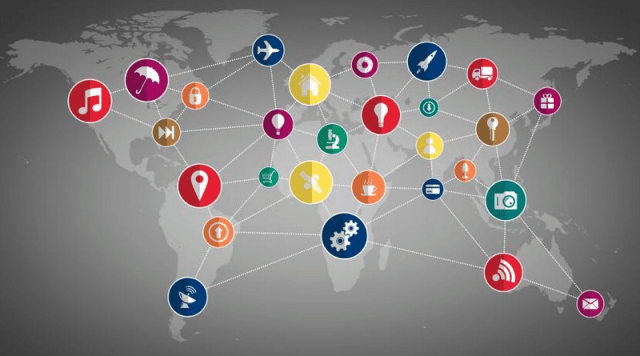
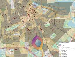
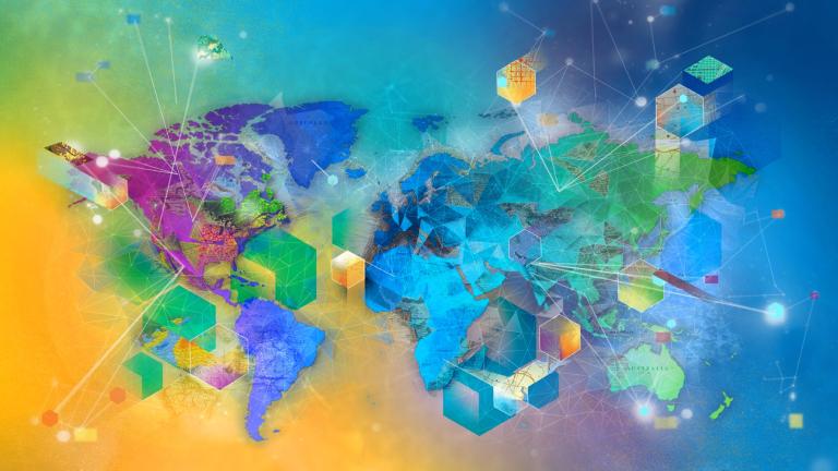
We specialize in geospatial software development, providing innovative solutions for data management, spatial analysis, real-time monitoring, and integrated resource management. Our expertise supports industries like urban planning, disaster management, healthcare, and infrastructure development, enabling organizations to make informed, data-driven decisions through advanced mapping, analytics, and GIS technology.

Specialization

We specialize in geospatial software development, offering solutions in GIS mapping, remote sensing, real-time monitoring, resource management, and urban planning. Our expertise enables efficient spatial data analysis, visualization, and decision-making across various industries.

Expertise

Our expertise lies in geospatial software development, GIS mapping, remote sensing, real-time monitoring, and spatial data management. We excel in integrated resource management, urban planning, and environmental analysis, providing innovative solutions for data-driven decision-making across various industries.

Rensponsive Claims Handling

We provide efficient and data-driven claim handling using geospatial technology to ensure accurate assessments, faster processing, and informed decision-making. Our solutions integrate real-time data, mapping, and analytics to enhance claim verification, resource allocation, and response efficiency.

RELATED SERVICES

Let's get in touch

  • Phone Number
    +254731 067 057

  • Email Address
    info@
    geosoftechnologies.co.ke

  • Location
    Diamond Park Estate, Hse No.334,
    Likoni Road, off Mombasa Road